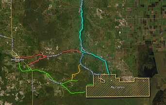
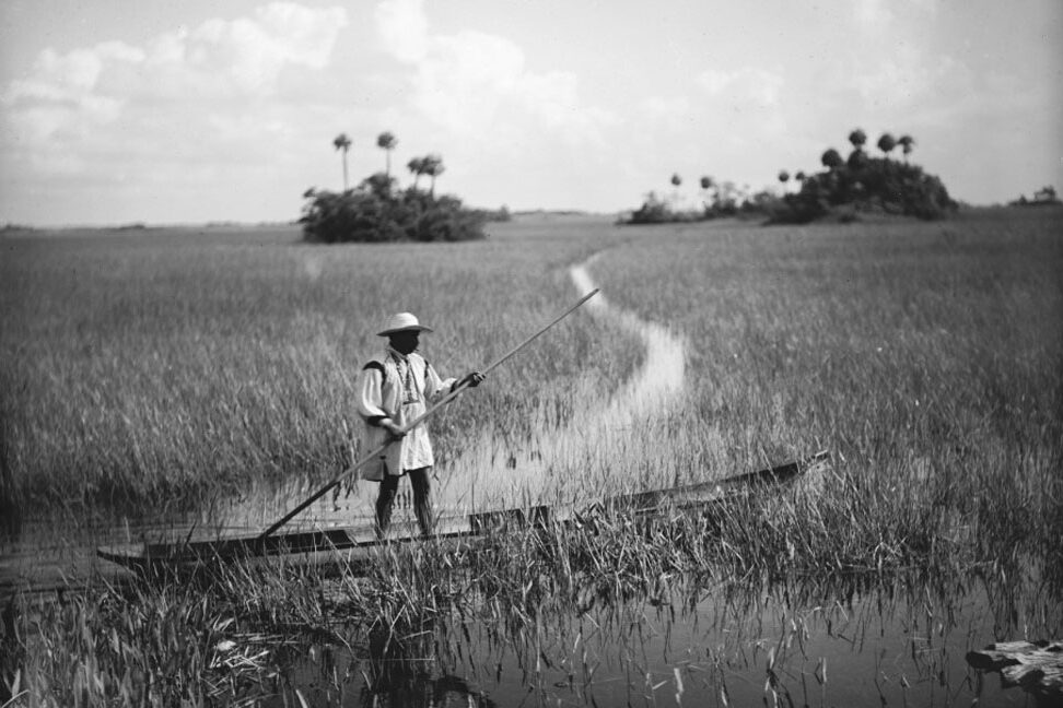
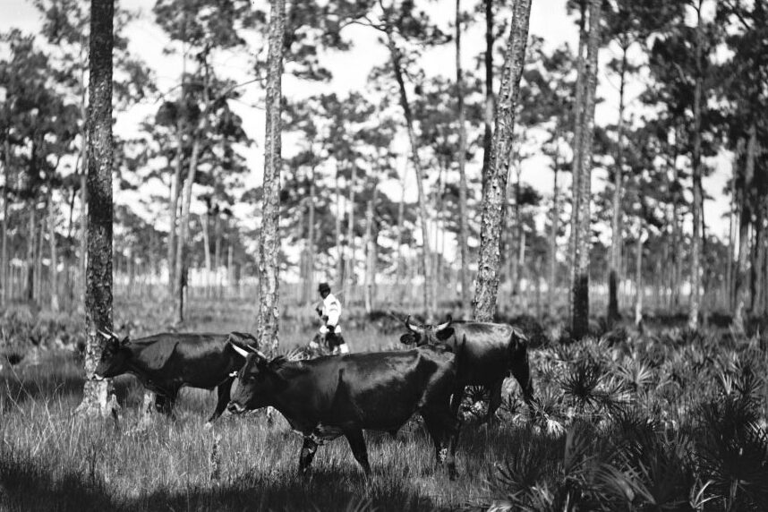
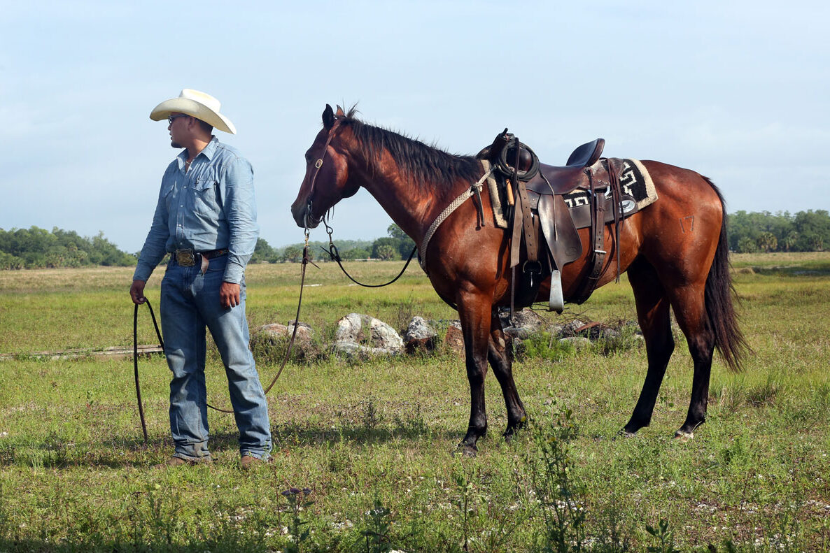
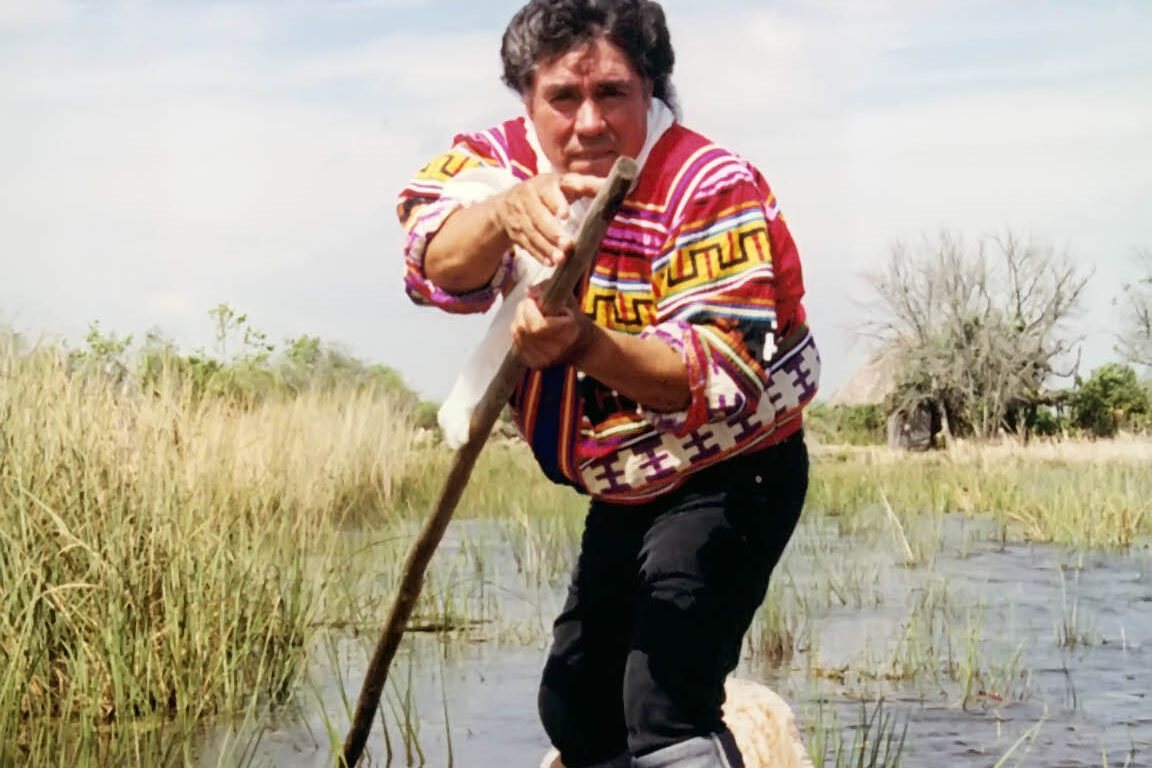
Prior to colonization, the ancestral lands of indigenous nations were not defined by boundaries or borders as we understand them today in Western culture. While primarily associated with the state of Florida, the cultural and ancestral landscape of the Seminole Tribe encompasses seven other Southeastern states in addition to Florida. To traverse a landscape so large required a massive transportation and communication network, comprised of water and land routes. Since settler modifications to Florida (e.g., drainage, anthropogenic alterations to water control, flow, and distribution, large scale development, etc.) have significantly altered the original character and function of the landscape, it is difficult to find any surviving tangible evidence of these networks. Yet, in Hendry County, Florida, a partnership between the Seminole Tribe of Florida and Florida Power and Light led to the rediscovery of a portion of Historic Trail Network. This maybe new information to the latter, however the Tribal community has always known about it’s the connections to the land. It help link Seminole clan camps in proximity to the current Big Cypress Reservation to the clan camps in and surrounding the Immokalee reservation. Unfortunately, due to the unique, non-physical, transitory nature of the Historic Trail Network and agricultural uses of past owners, the Historic Trail Network does not have an obvious observable footprint as would other cultural resource sites. Therefore, to mitigate the physical loss of this culturally significant route in the overall Historic Trail Network, the Seminole Tribe of Florida Tribal Historic Preservation Office, with the support of Florida Power and Light, created a GIS Story Map and educational video to capture and memorialize the Historic Trail Network as expressed in the property under development. This is a Seminole Story.
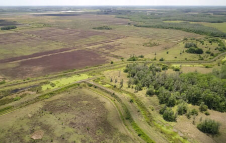
A video sharing and understanding the importance of the historic trails to the Seminole people.
A video sharing and understanding the importance of the historic trails to the Seminole people.
LOOPED VIDEO WILL REPLACE THIS BACKGROUND
Lorem ipsum dolor sit amet, consectetur adipiscing elit, sed do eiusmod tempor incididunt ut labore et dolore magna aliqua. Ut enim ad minim veniam, quis nostrud exercitation ullamco laboris nisi ut aliquip ex ea commodo consequat. Duis aute irure dolor in reprehenderit in voluptate velit esse cillum dolore eu fugiat nulla pariatur. Excepteur sint occaecat cupidatat non proident, sunt in culpa qui officia deserunt mollit anim id est laborum.
Prior to colonization, the ancestral lands of indigenous nations were not defined by boundaries or borders as we understand them today in Western culture. While primarily associated with the state of Florida, the cultural and ancestral landscape of the Seminole Tribe encompasses seven other Southeastern states in addition to Florida. To traverse a landscape so large required a massive transportation and communication network, comprised of water and land routes. Since settler modifications to Florida (e.g., drainage, anthropogenic alterations to water control, flow, and distribution, large scale development, etc.) have significantly altered the original character and function of the landscape, it is difficult to find any surviving tangible evidence of these networks. Yet, in Hendry County, Florida, a partnership between the Seminole Tribe of Florida and Florida Power and Light led to the rediscovery of a portion of Historic Trail Network. This maybe new information to the latter, however the Tribal community has always known about it’s the connections to the land. It help link Seminole clan camps in proximity to the current Big Cypress Reservation to the clan camps in and surrounding the Immokalee reservation. Unfortunately, due to the unique, non-physical, transitory nature of the Historic Trail Network and agricultural uses of past owners, the Historic Trail Network does not have an obvious observable footprint as would other cultural resource sites. Therefore, to mitigate the physical loss of this culturally significant route in the overall Historic Trail Network, the Seminole Tribe of Florida Tribal Historic Preservation Office, with the support of Florida Power and Light, created a GIS Story Map and educational video to capture and memorialize the Historic Trail Network as expressed in the property under development. This is a Seminole Story.
A video sharing and understanding the importance of the historic trails to the Seminole people.
